")
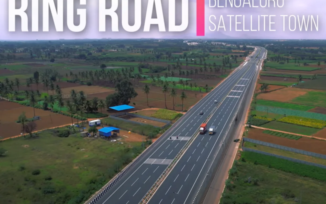
The Satellite Town Ring Road (STRR = Strategic Traffic and Transportation Road) is designed to connect several towns and regions around Bangalore. Project aimed at reducing traffic congestion and improving connectivity in the city & stimulating growth in these areas. Based on its planned route, certain areas are expected to benefit more significantly in terms of real estate, industrial development, and overall infrastructure improvement.


Key Features:
• Length: Approximately 280 km
• Width: 6-8 lanes
• Phase-wise development
• Connects key areas: Devanahalli, Doddaballapur, Hosket, Sarjapur, Attibele, Anekal, Kanakapura , Ramanagaram & Magadi
• Length: Approximately 280 km
• Width: 6-8 lanes
• Phase-wise development
• Connects key areas: Devanahalli, Doddaballapur, Hosket, Sarjapur, Attibele, Anekal, Kanakapura , Ramanagaram & Magadi
Objectives:
• Reduce traffic congestion
• Enhance connectivity between major corridors
• Support urban development and growth
• Improve travel time and efficiency
Impact:
• Expected to benefit residents, commuters, and businesses
• Enhanced accessibility to airports, tech parks, and industrial areas
• Potential increase in property values